What we do best
Areas of Expertise
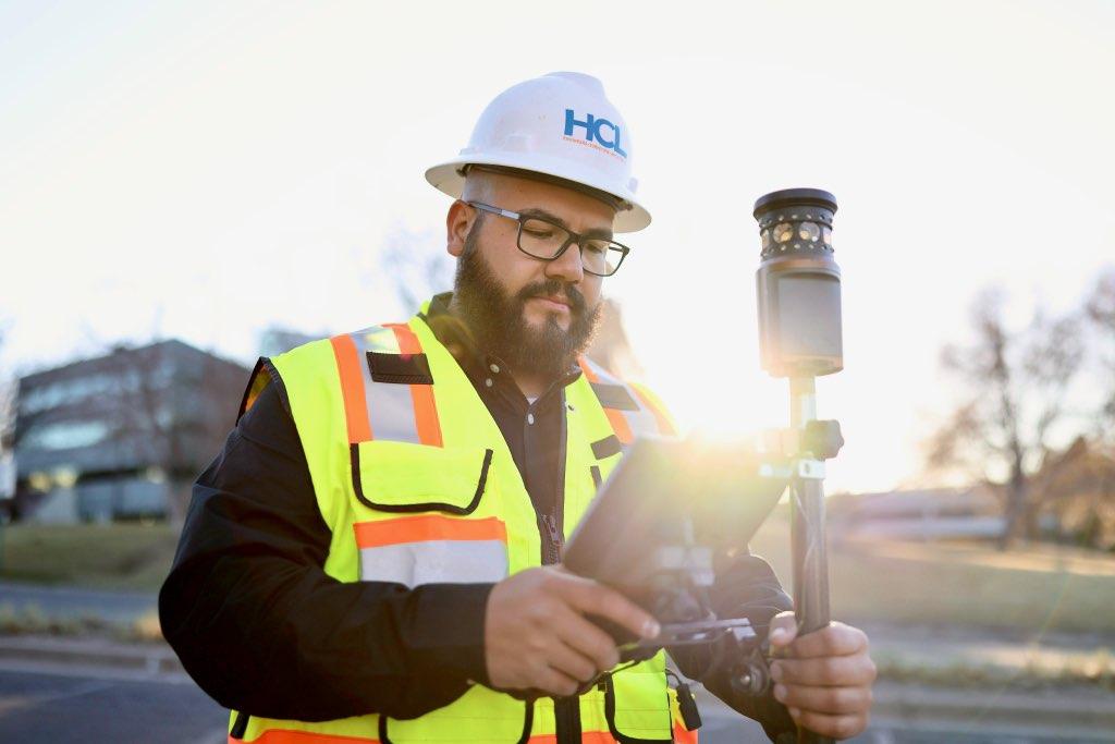
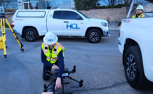
At HCL, we are experts in conducting topographic land surveys. Our surveys involve the comprehensive mapping of both natural and artificial features, such as buildings, fences, elevations, trees, streams, and other elements, using a range of surveying techniques. We utilize advanced tools such as GPS, Robotic Total Station, 3D Laser Scanner, and Aerial Drone to collect accurate and detailed data. The creation of elevation maps using contours and ground spot elevations is a crucial aspect of our topographic design surveys. These surveys may be necessary for government agencies, as well as for Engineers and Architects working on the development or improvement of a site.
At HCL, we are experts in conducting surveys of private property boundaries as well as public right-of-way (ROW) surveys. Our team of Professional Licensed Surveyors has extensive knowledge of various surveying systems such as the Public Land Survey System, CDOT right-of-way plans, Land Survey Plats, Improvement Survey Plats, Subdivision Plats, and ALTA/NSPS surveys. We recognize the significance of producing precise and dependable boundary surveys that safeguard the legitimate rights of the public.
HCL has a team of competent field and office staff capable of handling construction projects of any size. We have successfully undertaken projects such as the DEN Concourse Expansion, Pena Blvd, as well as numerous small-scale private developments. Our process involves conducting a comprehensive review of construction plans and CAD files to identify and rectify any errors or discrepancies. If we were to discover any discrepancies, we will submit RFI’s to ensure that the project meets the required standards. Our rigorous due diligence and QA/QC process have helped our clients avoid numerous headaches, delayed projects, and back charges. At HCL, we are committed to ensuring that your project is executed on schedule and in accordance with the specified requirements.
"HCL provided a one stop shop for the entire project, including surveying, engineering, and construction administrative services. HCL was able to coordinate the project with local governmental agencies and property owners from concept through construction. As a result, the project was completed on time and under budget.”
Jennie Achee
Arapahoe County Water & Wastewater Authority
Thank you, Ricky. The story staking went great. I wanted to pass on that CCD was very impressed with your work, and they all commented on how they liked working with HCL. Your hard work and diligence were noted. Thank you so much.
Lucy East, P.E. | Project Manager - Transportation
Michael Baker International & CCD
"From the very beginning, the HCL Surveying Team was incredibly thorough in their work. They took great care to understand our needs and requirements, and they worked closely with us to ensure that they were delivering the exact data we needed. Their attention to detail and commitment to accuracy were truly impressive."
“I would like to commend you on HCL’s continued excellence providing Survey and SUE services for our Michael Baker Transportation Team here in the Denver metro area. As a result of your attention to detail, quick turnaround, and overall great presentation of your end products, you have quickly become our “Go-To” for all our mapping needs. Thank you again for all your hard work and please let you team know how much we appreciate all the effort that goes into your deliverables.”
Eric King, PE - Roadway Design Manager
Michael Baker International

HCL worked with Colorado Parks and Wildlife (CPW) on the Roxborough State Park Entrance Road Paving project. Their responsibilities included project management, surveying, and civil engineering services. HCL was easy to work with and highly knowledgeable, competent, organized, and diligent. I recommend selecting HCL as one of your professional services providers for important on-call projects.
